EEF22

展覽與博物館

EEF22 — -.618 immersive experience

將建築投影與數據驅動敘事相融合的博覽會級多媒體概念,貫穿各活動區域。

EASTERN ECONOMIC FORUM

EXHIBITION STAND

我們為遠東聯邦區打造了一個展現其自然財富的展覽環境。互動技術讓參觀者能夠探索礦產資源、瀕危物種以及自然保護區,而中央的生命之樹裝置則將整個參觀路線串聯起來。

project overview

將建築投影與數據驅動敘事融合於各活動區域的大型多媒體概念。

EEF22 multimedia concept combines architectural projection with data narratives across event zones.
EEF22 multimedia concept combines architectural projection with data narratives across event zones.

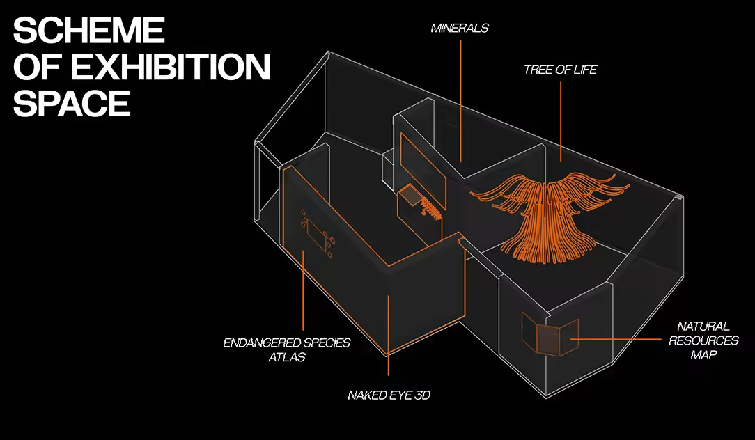
Wireframe isometric view of room layout with orange labels 'Minerals', 'Tree of Life', 'Endangered Species Atlas', 'Natural Resources Map'.

Isometric scheme of EEF22 exhibition space shows zones for minerals, tree of life, endangered species atlas, and natural resources map.

NAKED EYE 3D

展台的主要區域之一聚焦於瀕危物種保護,尤其是東北虎。裸眼3D技術將動物置於自然棲息地中,幫助闡釋其種群所面臨的威脅。

EEF22 projection mapping integrates data narratives on event zone surfaces.

EEF22 projection mapping integrates data narratives on event zone surfaces.
Still frame 6.

Still frame 6 from EEF22.

EEF22 architectural projection displays data visuals across interconnected zones.

EEF22 architectural projection displays data visuals across interconnected zones.
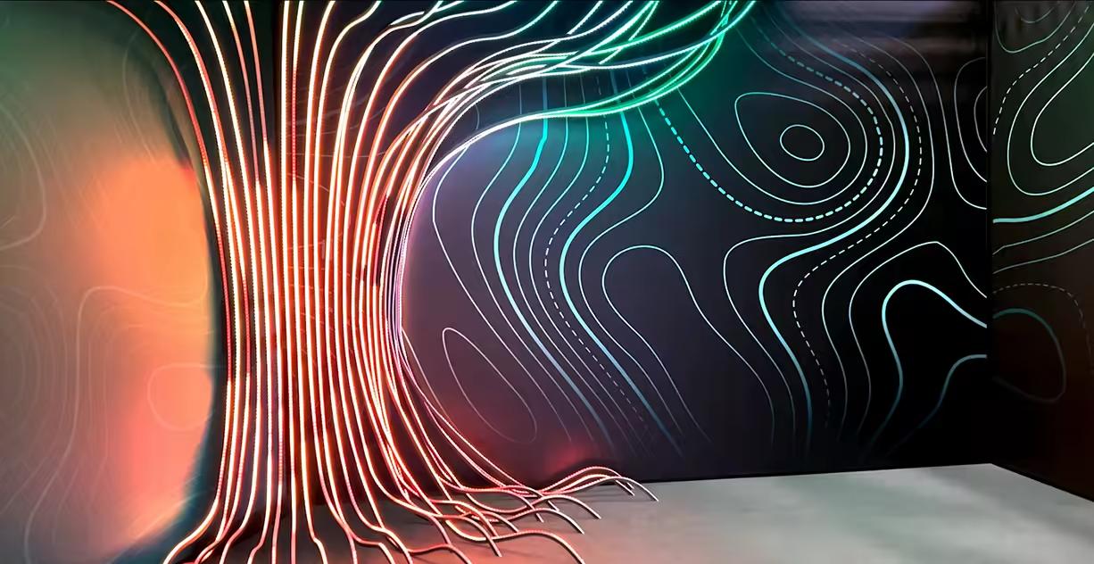
Neon-lit tree form with red trunk, green branches, curved lines on black walls and white floor.

Glowing tree structure with branching lines and wave patterns covers dark room walls.

ENDANGERED SPECIES ATLAS

視頻與觸控傳感器將牆面轉化為瀕危動物及其棲息地的互動圖譜。觸摸圖像即可觸發投影,展示該物種的相關資訊,聲音設計則增強了沉浸感。

EEF22 multimedia projection highlights data storytelling in exhibition zones.

EEF22 multimedia projection highlights data storytelling in exhibition zones.

MINERAL RESOURCES DISPLAY

透過微距攝影與焦點堆疊技術揭示礦物樣本的結構,互動地圖將每件標本與遠東地區的礦床相連,強化了展台的探索敘事。

EEF22 event zones illuminated by architectural data projections.

EEF22 event zones illuminated by architectural data projections.

EEF22 visual still frames

Cracked architectural surface displays bokeh light flares on weathered texture.

NATURAL RESOURCES MAP

互動地圖展示了遠東地區的自然潛力:礦產資源、木材儲量、碳足跡及保護區。參觀者可選擇特定區域,透過清晰的可視化界面探索其數據。

EEF22 interactive water resources maps

幕後花絮
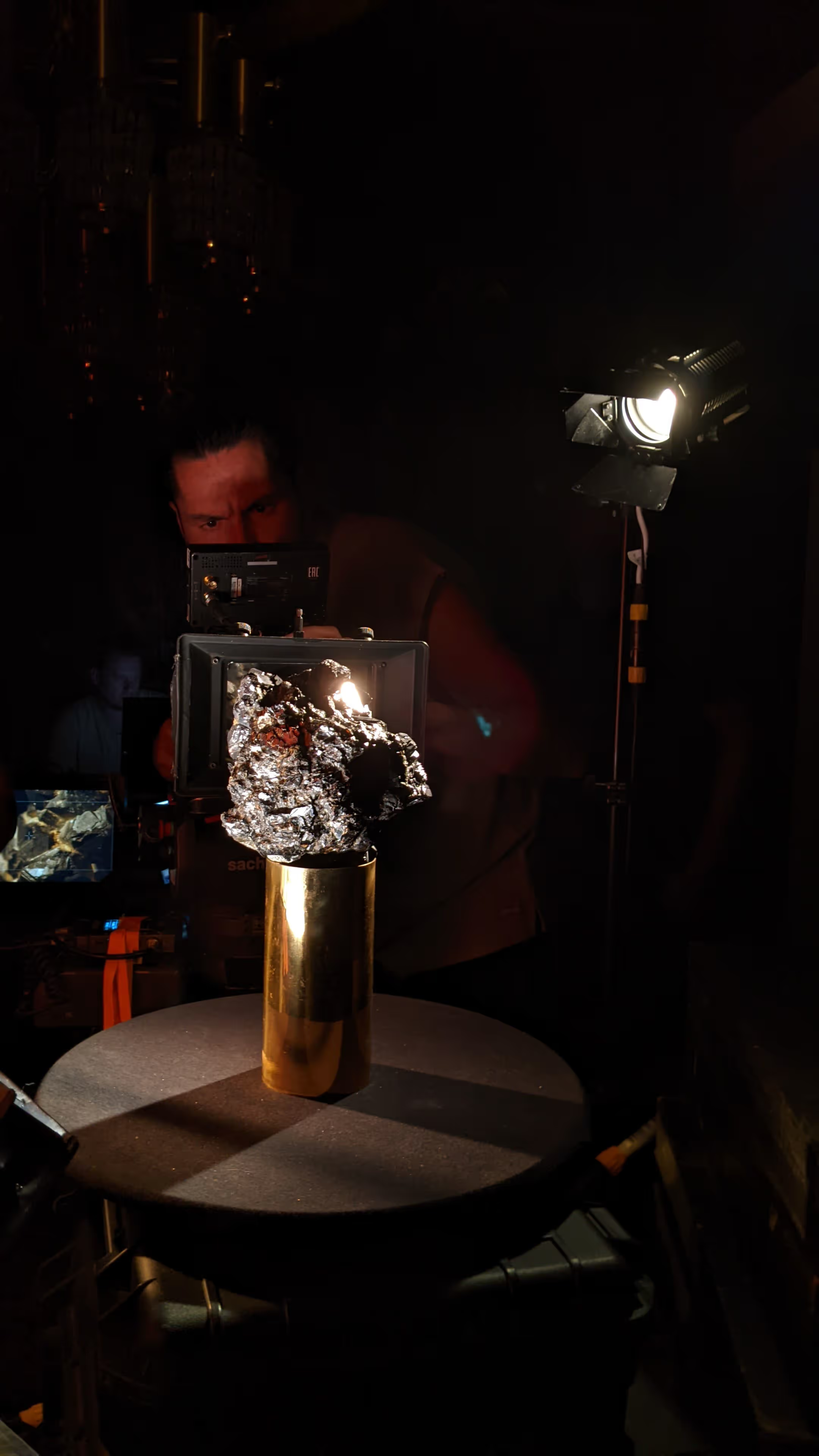
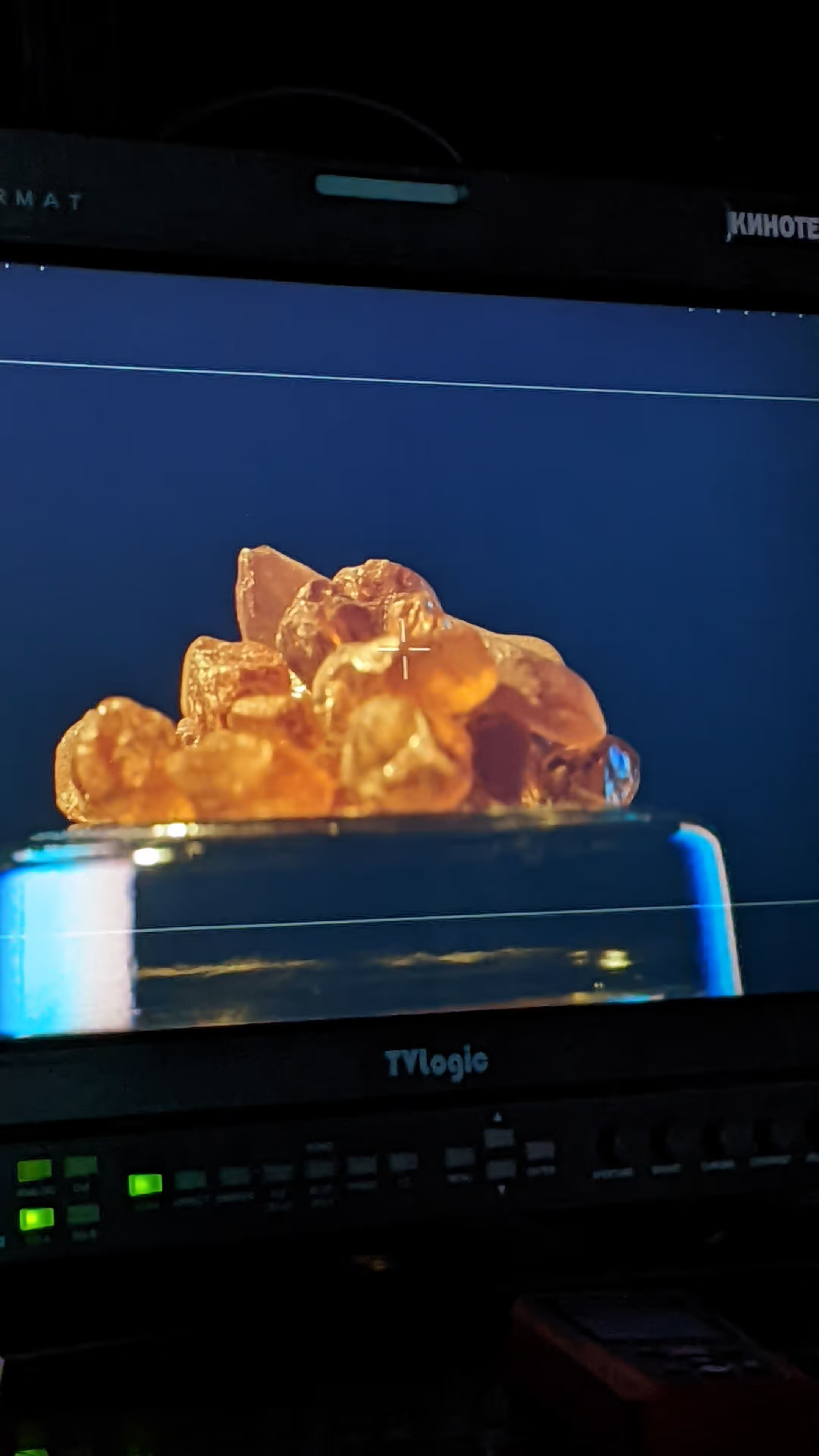
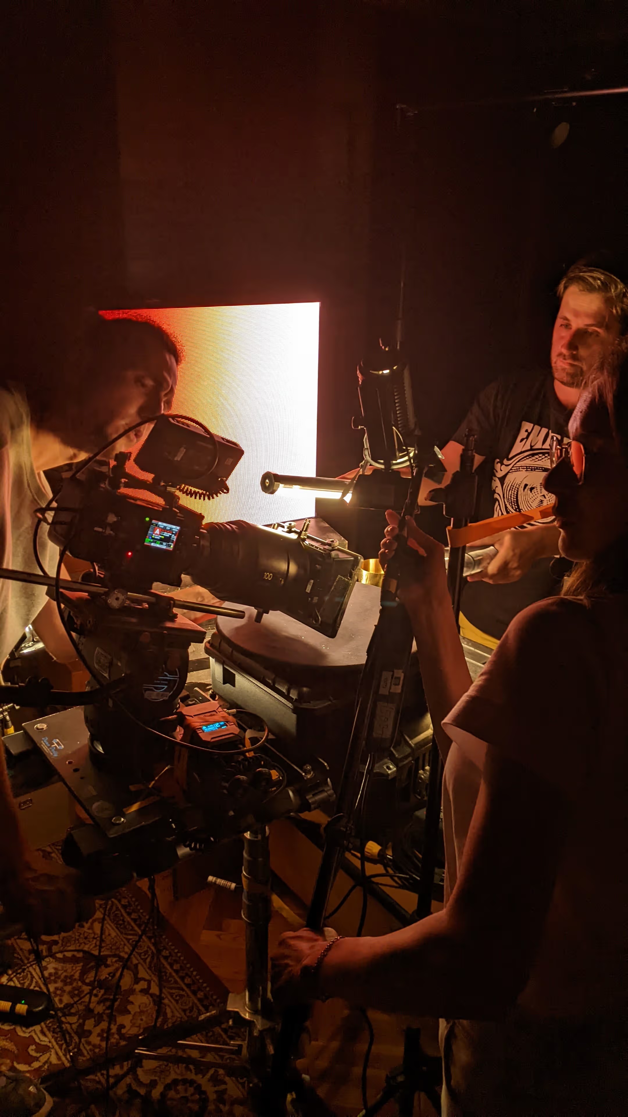
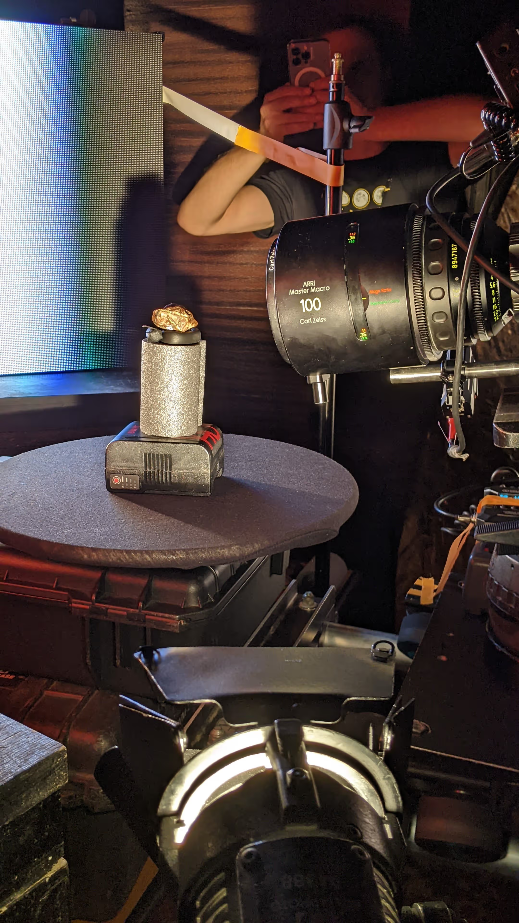
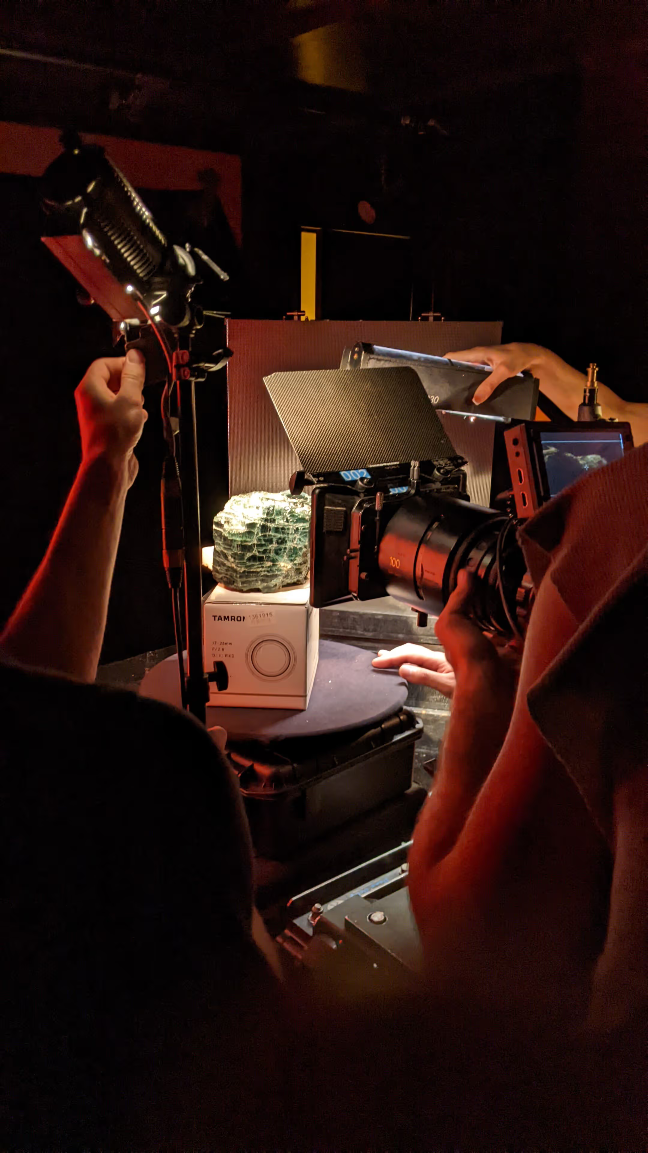
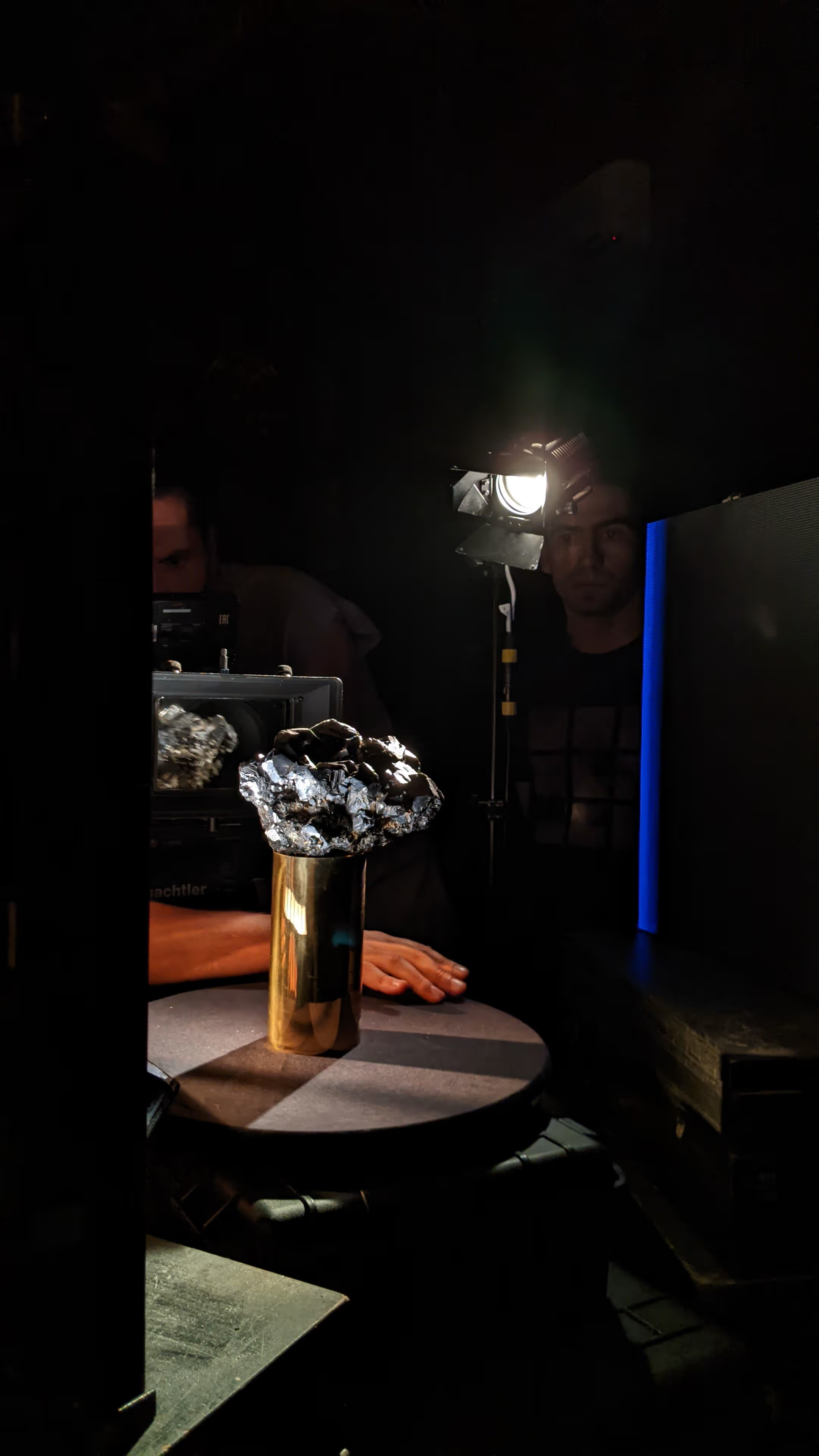
為製作互動礦產地圖,團隊使用專業微距設備拍攝樣本。透過精準控制光線、焦點與構圖,捕捉每種礦物的質感,並形成統一視覺語言。
Person operates camera aimed at shiny metallic rock on gold cylinder on round table with lighting equipment. Video monitor shows orange translucent crystals on pedestal with camera controls below. Three people adjust camera, lights and reflector around white box with green mineral on turntable.

EEF22 mineral filming setups

Camera lens over gold ore sample on shiny cylinder base next to black battery pack on table. Close-up of gloved hands positioning camera and light over textured green rock on rotating platform. Person's hand near shiny metallic cluster on gold cylinder on table with camera monitor in background.

EEF22 mineral filming setups

製作團隊 創意總監 — Alexander Skorik 技術總監 — Evgeny Bespalko 製作人 — Michel Belova 專案經理 — Stella Ilchenko 開發工程師 — Igor Ozhiganov, Igor Kosyi 設計與內容 — Maksim Smakhtin, Maksim Beloborodov, Timur Mametov

開啟互動體驗